South Florida is already flooding, and the peak of this king tide is days away
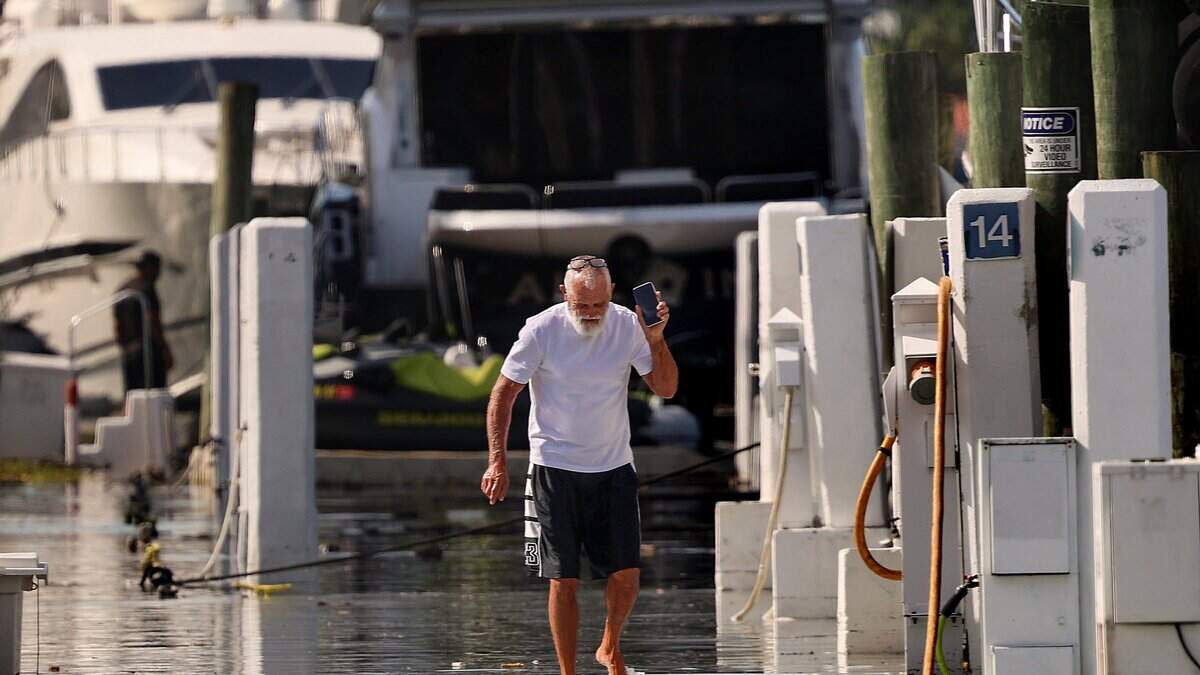
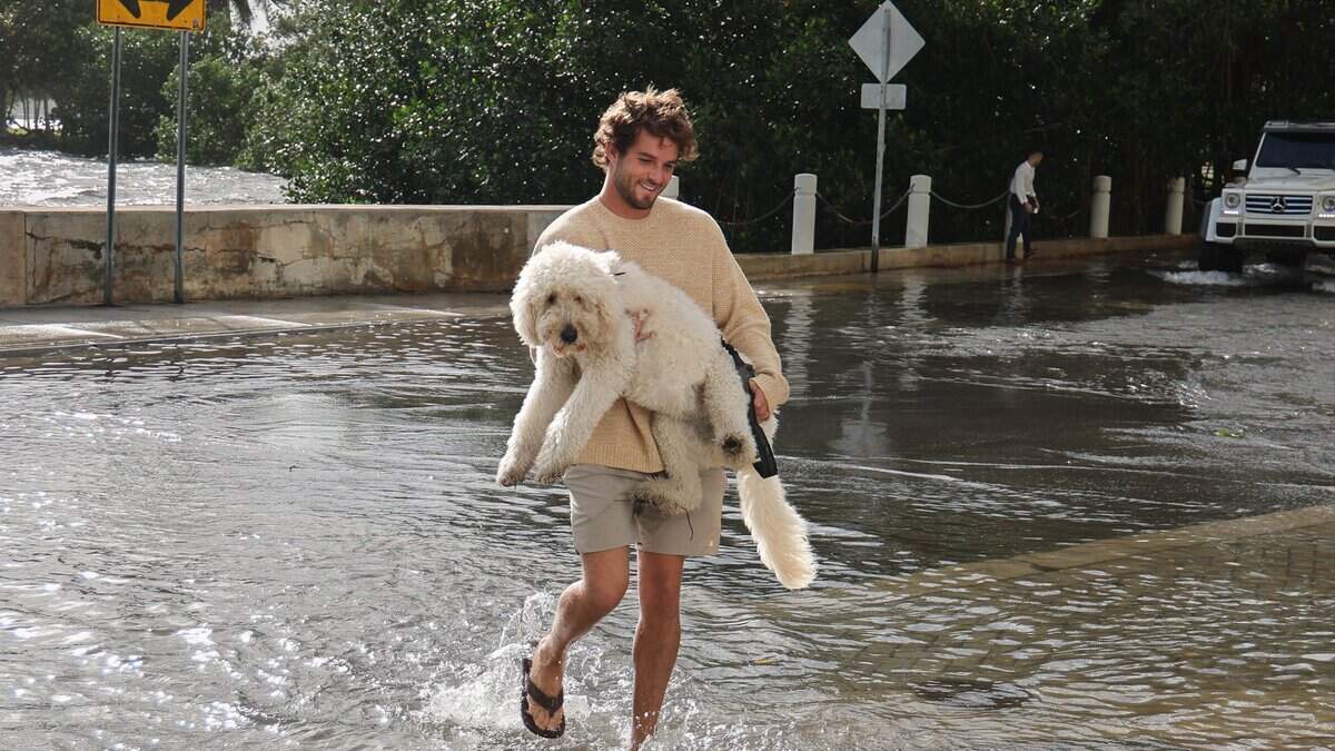
Some South Florida streets and parks likely will be submerged at some point in the next few days, as another — stronger — round of king tides strike the region.
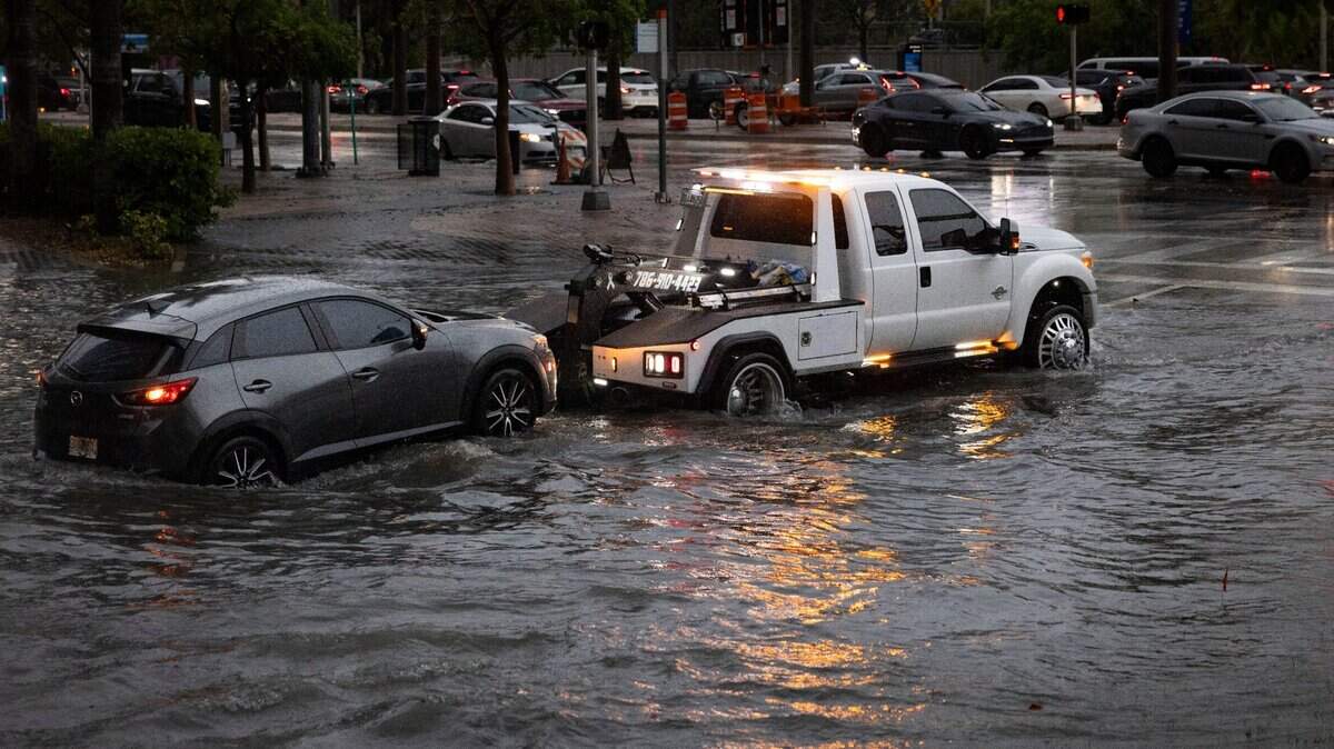
These higher-than-usual high tides are supercharged by winds blowing onshore, pushing more seawater on land. Couple that with the 1 to 2 inches of rain expected along the coast over the next few days and you have a recipe for flooding.
“Anywhere that is going to be wet from king tide is going to be made worse by rain showers,” said Donal Harrigan, a meteorologist with the Miami office of the National Weather Service.
Already, high tide on Friday and Saturday left coastal streets and parks soggy. But the peak of this king tide isn’t until Tuesday, when, NWS says, the region could see “moderate to major flooding.” This bout of king tides began Friday and lasts through Oct. 31.
Saturday marked the fifth day in a row that the tidal gauge at Virginia Key experienced “moderate” flooding of about 1.6 feet above sea level, “and that streak will continue for another 4-5 days,” Brian McNoldy, a hurricane researcher at the University of Miami, posted on Bluesky.
On Tuesday and Wednesday, predictions show, the area could potentially see “major” flooding, about 2.5 feet above normal. Flooding is at its worst for an hour or so before and after high tide, which is forecast to be:
Miami-Dade: about 9 a.m. and 9 p.m. on Sunday; 9:45 a.m. and 9:45 p.m. on Monday; and 10:30 a.m. and 10:30 p.m. on Tuesday.
Broward: about 8 a.m. and 8 p.m. on Sunday; 9 a.m. and 9 a.m. on Monday; and 9:45 a.m. and 9:45 p.m. on Tuesday.
Read more Rain, wind and king tide flooding making Miami’s streets tough to navigate
These tides are a natural, predictable event every year. But, sea level rise is pushing them higher and higher, and experts say these higher-than-usual tides offer a taste of what an average day could look like in decades to comes, when seas are a few feet higher.
Sea level rise is speeding up. It took 80 years for seas to rise about a foot, with 8 inches of that foot in the last 30 years alone. The next foot, predictions suggest, could only take 30 years. After that, 20 years for the next foot.
In response to the growing threat, South Florida has sunk hundreds of millions of dollars into elevating roads in places like Miami Beach, buffing up stormwater pipes and pumps in Miami and Coral Gables and experimenting with nature-based drainage solutions in cities like North Miami.
While scientists have long predicted that this would be one of the season’s higher king tides, it also comes as a low-pressure system is passing by. This brings tropical storm strength gusts to South Florida on Sunday and Monday and shoves more water ashore.
The combo makes for a rough day on the water.
The coast is under a gale warning from Sunday night through Monday evening, which means it could see sustained winds near 40 mph and gusts up to 45 mph — tropical storm strength. There’s also a high risk of rip currents through Tuesday
“Not a good day to be on the water in a boat or on the beach,” said Harrigan.
There are two more king tides this season — Nov. 6 through 9 and Nov. 23 through 26 — although neither are projected to be as intense as this one.
Read more Miami-Dade mayor plans to use jail officers to replace sheriff’s security details
This story was originally published October 25, 2026 at 12:30 PM.








Post Comment