See what parts of South Florida were the hardest hit by the ‘rain bomb’
The National Weather Service warned it would be a wet winter, thanks to El Niño. Earlier in the week, forecasters predicted the heaviest rains from the latest “rain bomb” would likely be around Boca Raton.
Read more Is more rain and flooding expected Thursday? What the forecast says
But in the pre-dawn hours, Central and South Broward recorded the most rain, as of the preliminary 24-hour totals released Wednesday by the National Weather Service Miami.
The heaviest rain was recorded around Plantation, Hollywood and Lauderhill with more than 10 inches of rain flooding the cities as of around 8 a.m. By 4 p.m., the National Weather Service updated its data to show over 15 inches of rain recorded in Plantation between Tuesday and Wednesday.
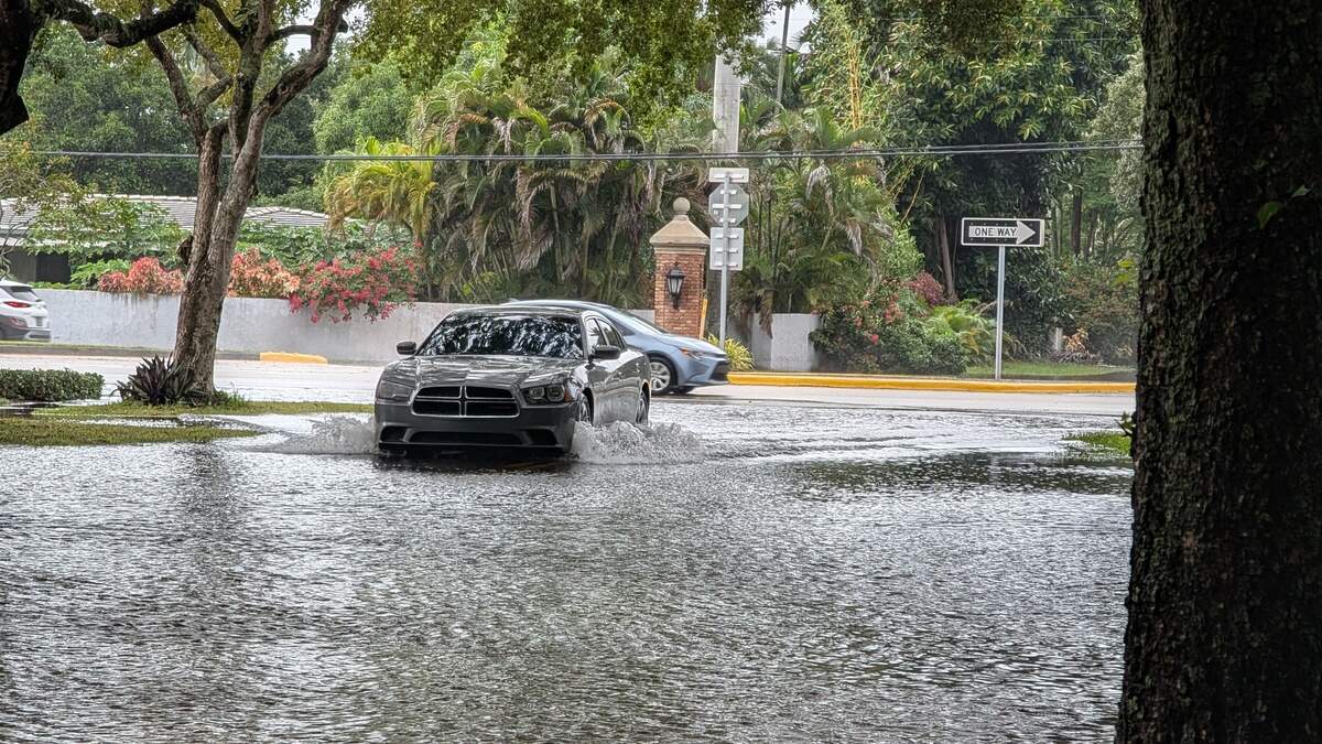
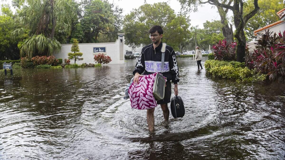
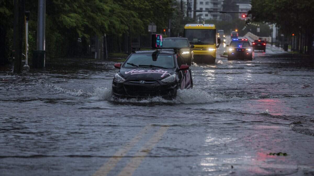
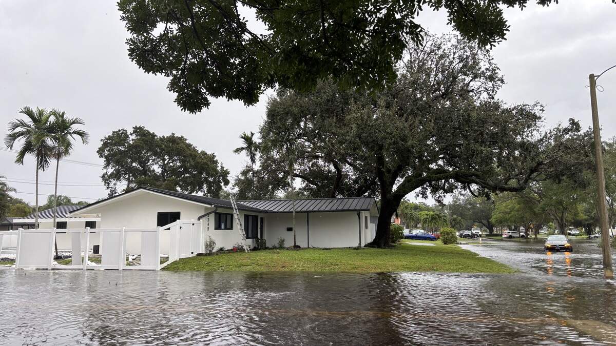
The heavy rains caused Broward public schools to close, power outages, and the roof to partially collapse at Temple Sinai in Hollywood. Thousands of Broward residents had to deal with thigh-deep flooding, ripped fences, stalled cars and frantic escapes from the rising water flooding into their homes and cars.
The 4 p.m. data update from the weather service also showed heavy rain fall recorded in parts of Miami-Dade. Almost 9 inches of rain was recorded around the Black Point/Cutler Bay area and 5 to 6 inches around Coral Gables.
The National Weather Service says it’s pretty much impossible to pinpoint exactly the big pockets of rain might fall.
Will Redman, a forecaster at the weather service, said the agency runs different models at different times of day, taking into account different possibilities like temperature and winds. The forecast we get is a blend of all the models.
“And so, when we say like widespread two to four or three to five [inches], that means that we’re telling you that pretty much everywhere in the region during this three-day time frame is going to see three to five inches or two to four inches.”
When they say “localized 8 to 10 inches” it means select areas are going to get 8 to 10 inches, but they can’t predict where exactly that would be, he said.
“It’s pretty much impossible to do that,” Redman said.
“We still knew there was a potential for the rainfall to be heavy all throughout South Florida, which is why we did put that flood watch to include Broward and Miami-Dade County,” Nico Porcelli, another forecaster at the National Weather Service in Miami told the Miami Herald.
Read more After torrential rains, Miami-Dade courts system will be closed on Thursday
The rainfall trended a little bit farther south than they predicted, he said.
The National Weather Service started sending out alerts around 7 p.m. Tuesday in Davie and continued throughout the night in other metro areas, Porcelli said. At 12:42 a.m. they sent out a “Critical Imminent Threat Alert” with phones blasting the alert around the Hollywood area.
“We started getting reports of significant street flooding and water entering homes, and at that point, rainfall amounts were already into like the five- to six-inch range and continued to climb,” Porcelli said.
What’s ahead?
More soggy days are expected this week. The weather service says another two to four inches, at minimum, is likely through the end of the week. And another intense rain event is not out of the question, potentially 8 to 10 inches more.
If you receive one of the Imminent Threat Alerts, the weather service advises staying inside and seeking higher ground if water is seeping in.
Early Wednesday, Porcelli said he wouldn’t be surprised if in the next couple of days the rain trends farther north.
“We’re not confident about where the exact location could be,” he said. “It could happen over Miami-Dade. It could happen over Broward County later on, maybe more so tomorrow, it could be happening further north over West Palm Beach.”
Read more: El Niño may deliver another drenching to South Florida this week
Around 3 p.m. Wednesday, Redmon said the latest guidance showed a widespread two to four inches for the rest of the day. The National Weather Service had some outcomes showing the area could see 10 to 15 inches of rain again in some spots.
“That’s unlikely, but it is possible based on what we have,” he said.
He also said the rain was trending more toward Miami-Dade and southern Broward for the heaviest rain Wednesday, but that could change come Thursday.
Read more What to do if your home or car flooded in South Florida’s downpour
Miami Herald staff writer Alex Harris contributed to this report.
This story was originally published November 18, 2026 at 3:28 PM.









Post Comment