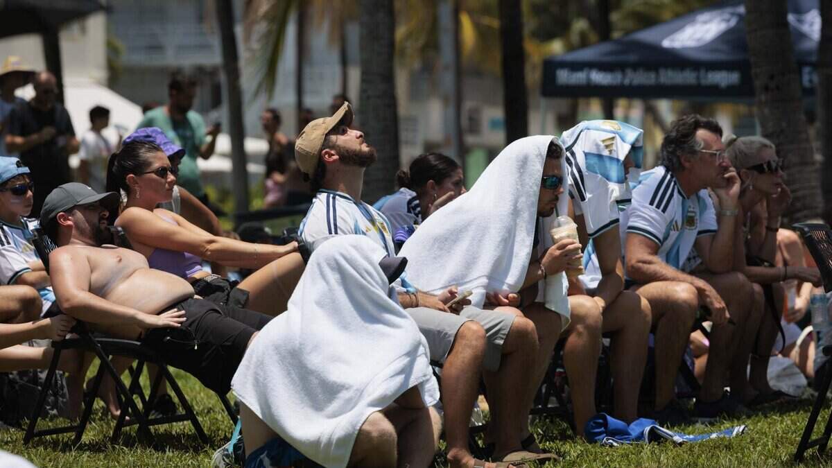
‘Too doggone hot,’ Miami forecaster says as heat advisory returns. Will it last?
Most of the rain is moving out and drier air and Saharan dust is moving in — and South Florida’s heat advisories are back on.
Read more Paradise with predators? How South Florida can live with alligators next door
The National Weather Service in Miami advisory is from 11 a.m. to 7 p.m. for coastal Miami-Dade, Broward and Palm Beach counties.
The change in weather pattern after an eight-day reprieve from such heat alerts from the National Weather Service in Miami looks to make Wednesday the hottest day since July 21, said CBS News Miami meteorologist Lissette Gonzalez.
“This will allow temperatures to soar to the low- to mid-90s, and it’s going to feel like 106, potentially, possibly up to 110 degrees as we get into the afternoon,” she said.
“Too doggone hot to take your dog for a walk,” she said in a segment of her weather broadcast.
Miami seems to be the hot spot Wednesday with a high of 94 in the afternoon, followed by Opa-locka, Pembroke Pines and Pompano Beach at 93, and Fort Lauderdale at 92. Homestead is looking at 91, Gonzalez said. The Florida Keys will toast in the upper-80s.
Only spotty showers and storms are expected, about 20% over the next couple days.
The heat risk is even greater Thursday, which means a greater health risk.
Miami has a 96 degree forecast, that would break a 95-degree record set on that date — July 30, 2015. Fort Lauderdale’s forecast is 95, one-degree shy of a 2015 record of 96, and Key West eyes 90, four degrees cooler than the 1933 record of 94 for this date.
Read more Florida gets a reality check with new business-friendly rankings
If the weather service issues a heat advisory for Thursday, it would likely be released in the early morning hours. Advisories are issued in Miami-Dade when the “feels-like” temperature is forecast to sustain at 105 degrees for at least two hours.
Expect the peak of heat to broil between the hours of 2 p.m. and 5 p.m. on both days.
The chance for another 12-day heat advisory streak like we had in early July is unlikely. Friday’s 105 feel-like around 1 p.m. doesn’t look like it’ll hold for the necessary two-hour stretch.
Regular air temperatures are forecast at 94 for Friday, 93 Saturday and 92 Sunday. The start of the next workweek brings the heat down a bit to 90.
Credit, perhaps, the rain chances, which are forecast to increase on the weekend to just above 50% Saturday and around 30% Sunday, before inching back up to 40% on Monday and Tuesday, according to the weather service.
Health tips
Miami’s weather service considers Wednesday’s alert (and the likely Thursday issuance of a heat advisory) a “major heat risk” health concern.
Read more A Miami child-supplement maker had no permit and used vodka as sanitizer
Quick tips from the NWS:
- Drink plenty of water, even if you’re not thirsty.
- Take frequent rest breaks in shade or air-conditioning.
- Watch for signs of heat illness, such as heavy sweating; nausea; headache; dizziness or weakness; cool, pale and clammy skin; altered mental state and loss of consciousness.











Post Comment