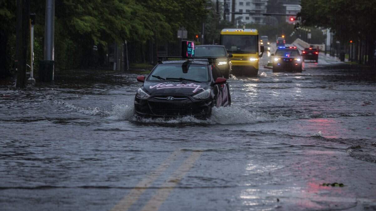
Is more rain and flooding expected Thursday? What the forecast says
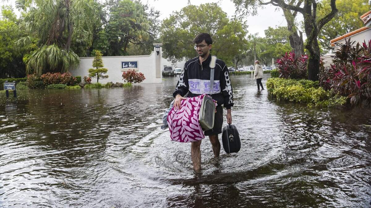
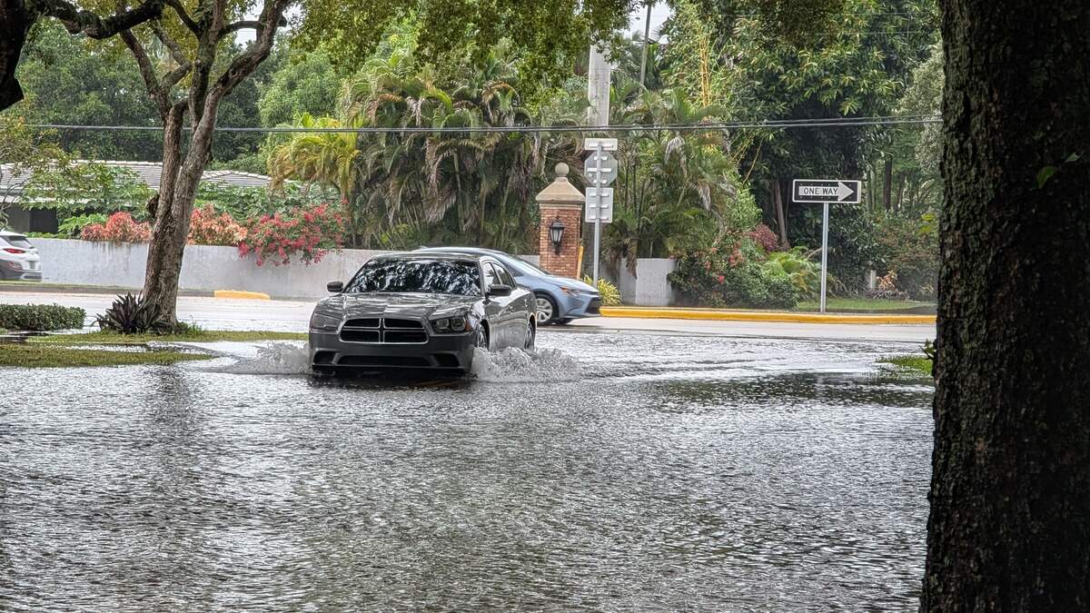
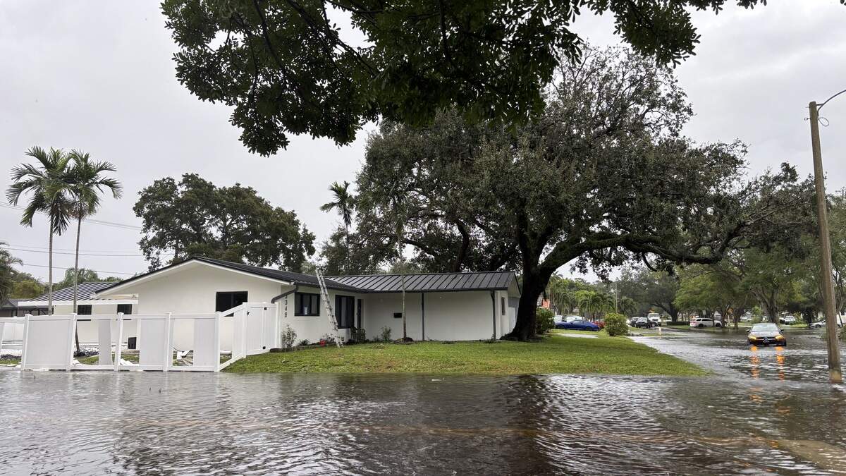
A flood watch remains in effect for waterlogged South Florida, with forecasters expecting to see more heavy rain and flooding — including potential flash floods — through at least Thursday evening.
Read more After torrential rains, Miami-Dade courts system will be closed on Thursday
At least two to four additional inches of rain is possible across Miami-Dade, Broward and Palm Beach counties through at least Saturday, according to the National Weather Service of Miami. That’s much less than what was recorded Wednesday, when some parts of Broward saw as much as a foot of rain.
Even so, there’s still a chance waterlogged South Florida will see some more flooding. A flood watch remains in effect across South Florida through Thursday evening, including for Miami, Hollywood, Fort Lauderdale and West Palm Beach.
Here’s a look at the National Weather Service’s forecast for Thursday:
Miami-Dade is expected to see a 40% chance of rain Thursday, with gusts as high as 20 mph.
Broward County is forecast to see a 60% chance of rain Thursday, with “new rainfall amounts between a tenth and a quarter of an inch” possible, with higher amounts likely during thunderstorms.
Palm Beach County conditions call for a 60% chance of rain Thursday, with new “rainfall amounts between a quarter and half of an inch possible.”
What else the forecast says
Instead of Wednesday’s all-day steady rain, forecasters expect to see scattered showers across South Florida on Thursday, with the worst of the rain likely to be felt across Broward and Palm Beach counties.
This week’s deluge was mostly caused by a low pressure system that started in Texas and made its way toward Florida, where it’s lingering along the east coast. The system is “helping pump moisture” into the area, National Weather Service meteorologist Will Redman told the Miami Herald on Wednesday afternoon.
Read more What to do if your home or car flooded in South Florida’s downpour
And, unfortunately, more stormy weather is ahead for South Florida until the system goes into the eastern Atlantic off the U.S.’s Southeast coast later this week, when it could potentially develop into a subtropical or tropical storm as it moves northward through the weekend.
“Regardless of development, strong winds, dangerous surf, and coastal flooding are likely along portions of the southeast and mid-Atlantic coasts into early next week,” according to the National Hurricane Center.
Flood watch in effect
A flood watch is in effect for inland and coastal Miami-Dade, Broward and Palm Beach counties through at least Thursday evening. A flood watch means that flooding is possible.
The flood watch includes, but is not limited to, Miami, Kendall, Hialeah, Florida City, Hollywood, Davie, Sawgrass Mills, Fort Lauderdale, Pembroke Pines, Pompano Beach, West Palm Beach, Sunrise, Miramar, Coral Springs, Jupiter, Boynton Beach and Belle Glade.
Forecasters say there’s also a risk of flash floods across Miami-Dade, Broward and Palm Beach counties due to the excessive rain.
“Repeated rounds of rainfall could lead to significant flash flooding,” reads a graphic from the weather service.
Read more South Florida pastor found guilty on all counts in Haiti president assassination
This story was originally published November 18, 2026 at 4:57 PM.









Post Comment