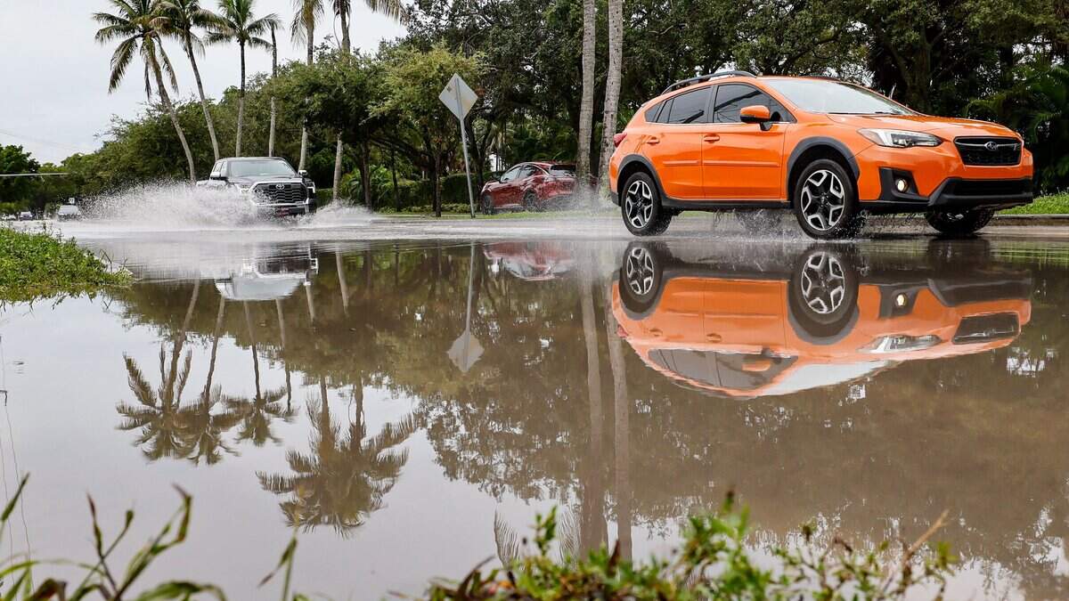
Wet, windy Saturday night for South Florida brings flooding worries
Forecasters are warning South Florida residents that numerous cities will be drenched in rainfall that may lead to bouts of flash flooding and some thunderstorms Saturday night.
Read more National No Kings movement hosts South Florida events to promote early voting
A cold front sitting just south of Lake Okeechobee is moving toward Miami-Dade and Broward Counties on Saturday night into Sunday, National Weather Service Senior Forecaster Anthony Reynes said. As the front moves it is collecting a host of moisture which is dumping rain over the region.
Not only will the area see rain and thunder, but northerly winds will arrive later Saturday, bringing with them 20 to 25 mph winds.
“These breezier winds will likely persist through early next week,” the NWS said.
Coral Springs, Parkland and Lakeview briefly saw a flash flood warning the lasted until 5:15 pm. Forecasters warned residents in those cities and surrounding neighborhoods to move to higher ground as rainfall could cause rapid flooding.
Some of the most affected have seen 3 to 4 inches of rain from 4 to 5 pm. Flood advisories are still in effect for most of Northeast Broward and Southeast Palm Beach counties.
Read more Dolphins owner Steve Ross continues selling off pieces of his sports empire
One X user posted a video of at least a foot of water flooding a Deerfield Beach at Southeast 10th and South Dixie Highway.
Forecasters also noted the possibility of land spouts in the Everglades region of Broward until 5:45 p.m. Along all Atlantic beaches, there is a high risk of rip currents through Wednesday, the NWS said.
“Strong rip currents and increasing wave heights will lead to dangerous swimming and surf conditions,” the agency said.
The cold front causing a concoction of weather mayhem will arrive in the northern Florida Keys on Sunday morning.
Read more National No Kings movement hosts South Florida events to promote early voting











Post Comment